Administration area Layers with Population census maps
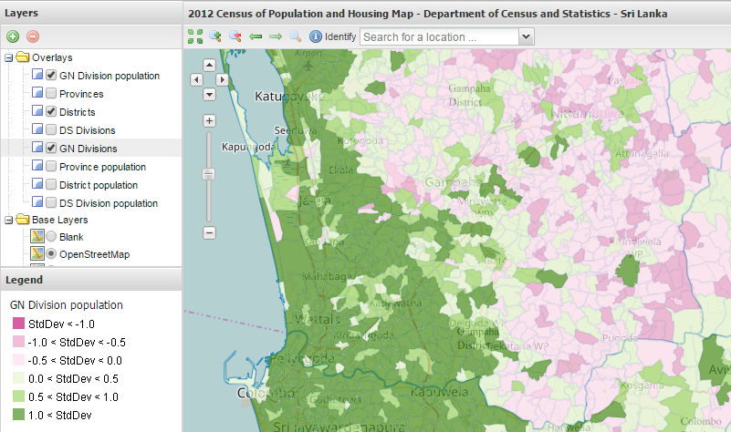
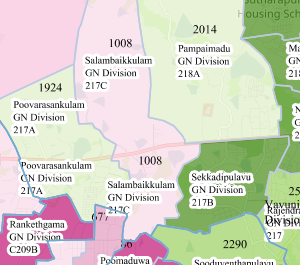
Administration map is a map portal which can optionally display Province, District, Divisional Secretariat Division, Grama Niladhari Division and Local Government administration area boundary layers as overlays and many other open layers available such as Google and Open road map layers as base layers. The list of available list of Overlays also includes thematic maps of Population reported within the respective administrative boundaries during the Census of Population 2012.
User guide: How to ...
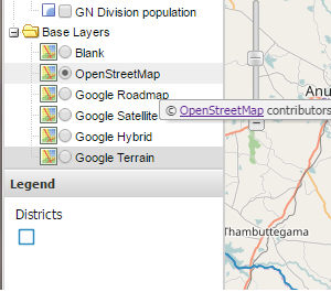
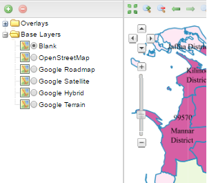
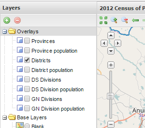
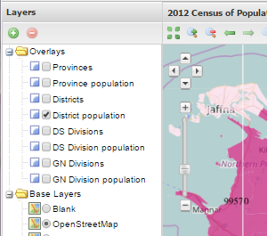
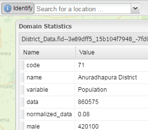
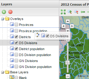
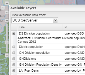
The following thumbnails explain and display how to get the things done within this map portal and answers to FAQs.
